Mobile Data Collection

Digitize Your Plantation From the Palm of Your Hand

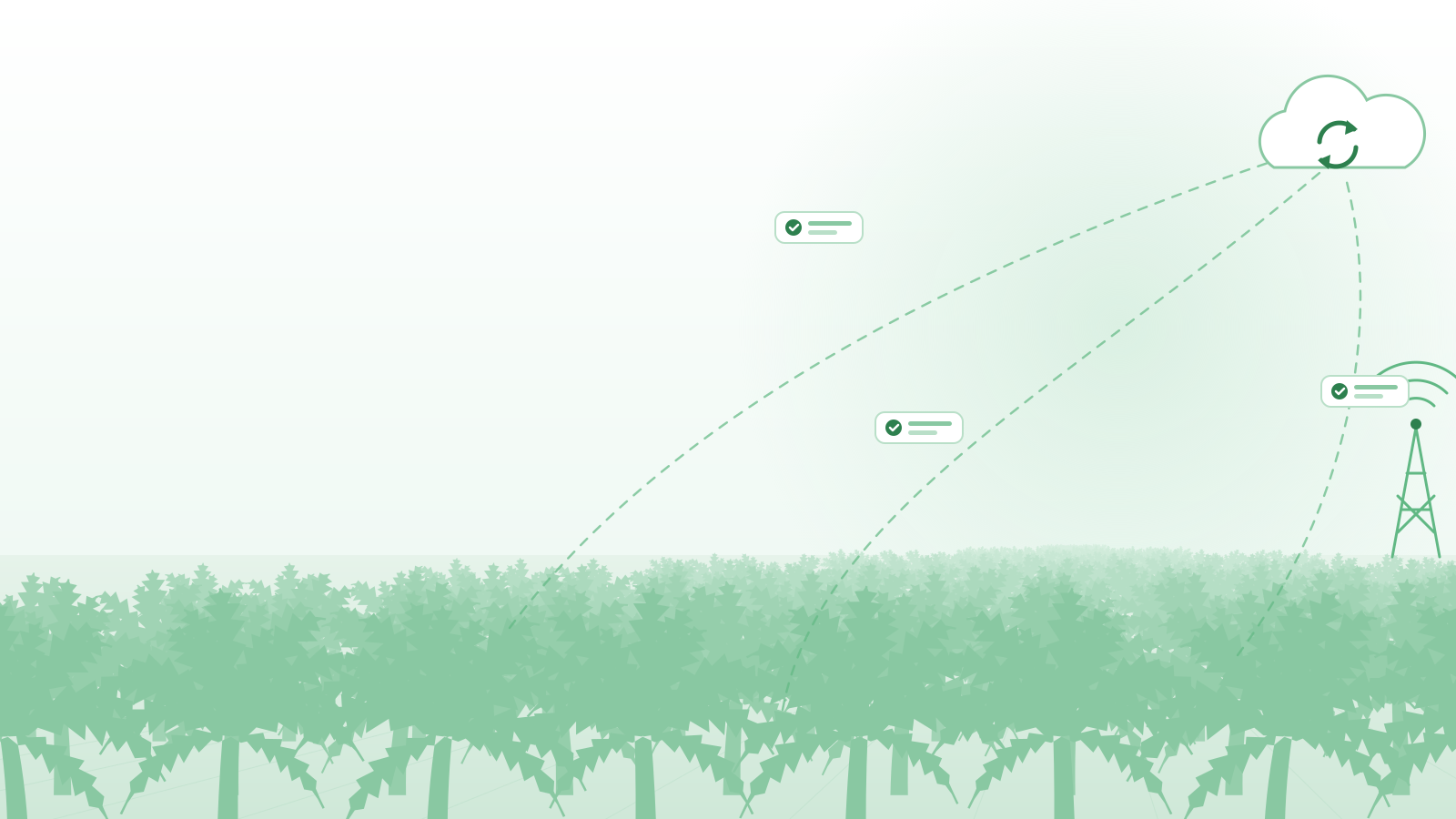
Leave paper behind. Record harvest, maintenance, and foreman attendance offline, right from the field, with automatic sync to the central dashboard.

Today's Harvest
Data Saved
Total Bunches
4,208
Early Fire Detection

Protect Your Assets with Satellite Monitoring

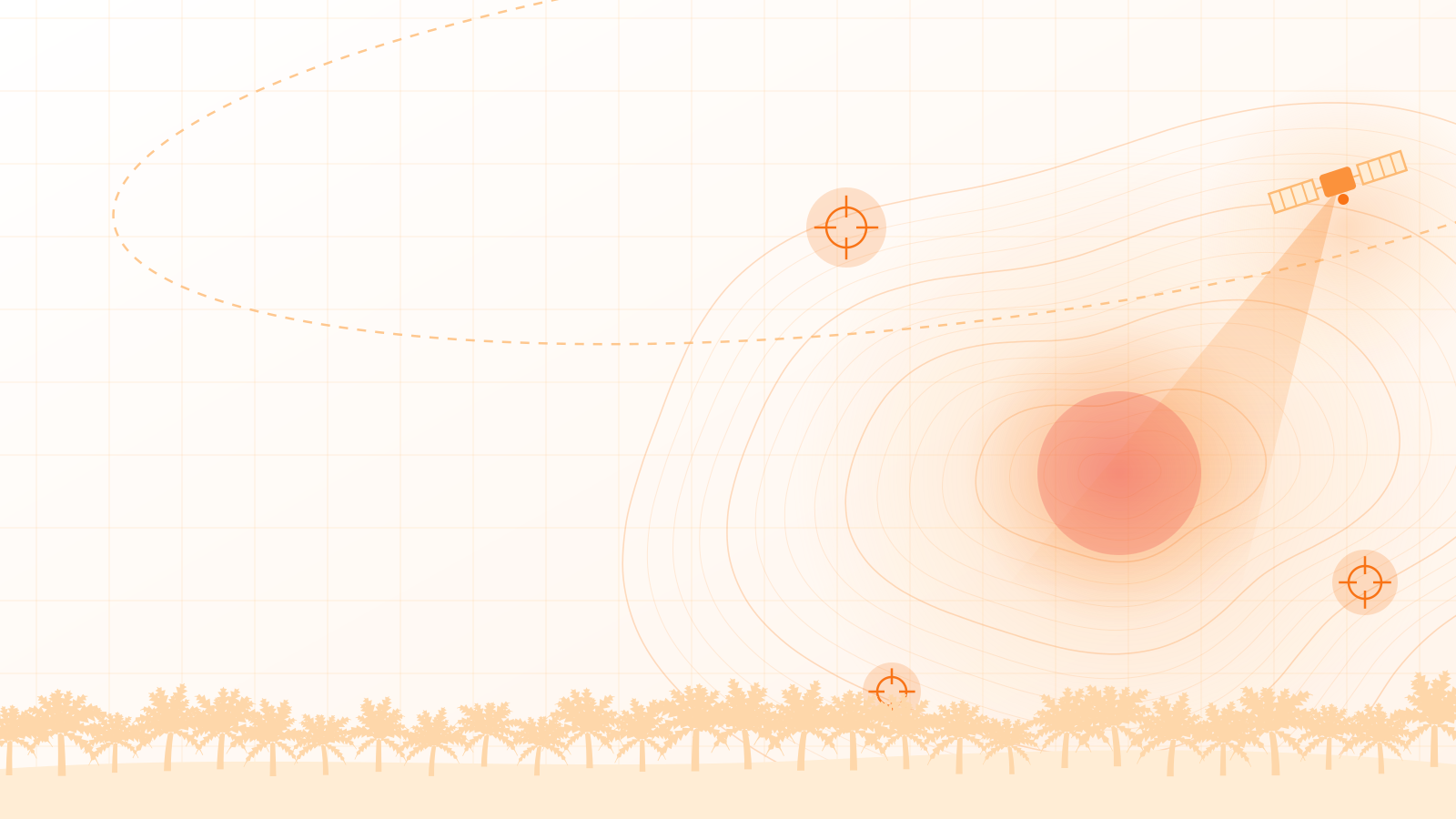
Integrate NASA/BMKG satellite data with your plantation's GIS polygon maps. Get real-time alerts when temperature anomalies are detected within your HGU concession.

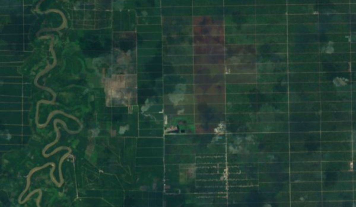
Satellite map of oil palm estate blocks

HOTSPOT DETECTED

Temp: 54°C | Block C-4

LIVE · Sentinel-2
EOxCloudless by EOX IT Services GmbH (Contains modified Copernicus Sentinel data 2016), CC BY 4.0
Supply Chain Traceability

Trace Every Drop of CPO Back to Its Tree

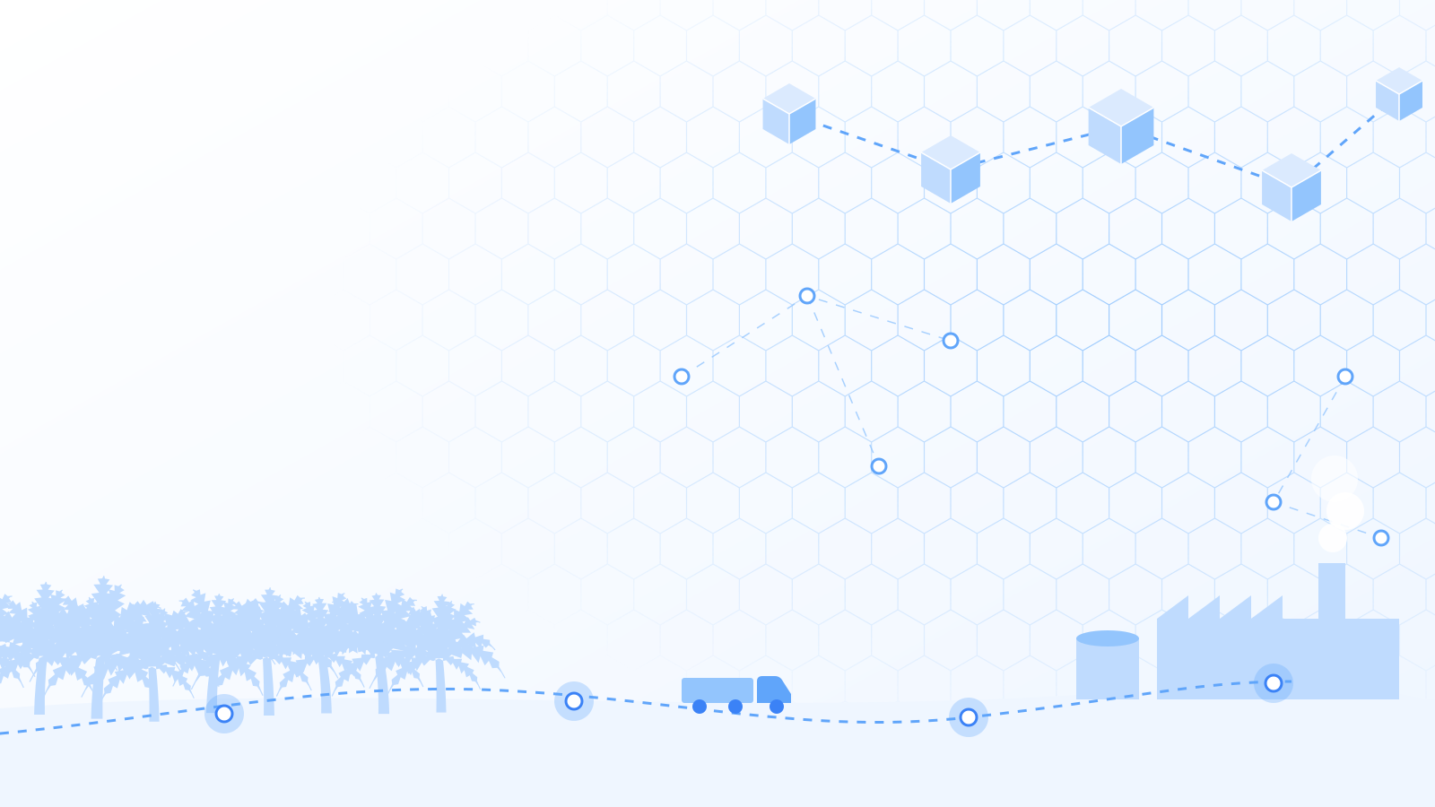
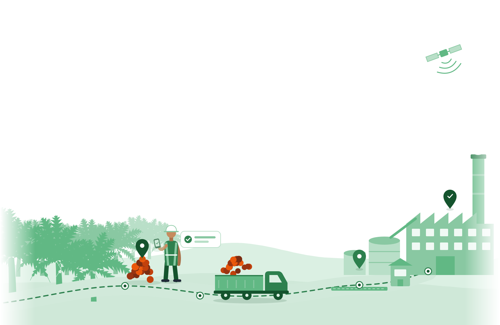
Meet sustainability standards (ISPO/RSPO). Our blockchain-ready system tracks the movement of fresh fruit bunches (FFB) from the harvest block and transport truck all the way to the palm oil mill.

Origin
Block A-12 (Plasma)
Shipment
Truck BM 1234 XY
Receiver (Mill)
Mill Sentosa Jaya

Integrated Ecosystem

End-to-End Solutions for Plantation Operations

An integrated system that bridges field activities with head-office analytics, ensuring productivity and sustainability.

Mobile Data Collection

Record harvest yields, daily work logs (BKM), and attendance offline in the field. Data syncs automatically once a signal is available.

Analytics Dashboard

Management's command center. Monitor production metrics, block performance, and foreman productivity in real time.

GIS & Hotspot

Interactive polygon maps and early satellite-based fire detection to mitigate the risk of land and forest fires (Karhutla).

Supply Chain Traceability

Trace fresh fruit bunches (FFB) from their origin to the mill to comply with ISPO, RSPO, and EUDR certification requirements.

Regulatory Compliance with Transparent Traceability

As the EUDR (European Union Deforestation Regulation) and global certification standards take effect, SawitChain ensures every harvest can be geospatially verified as not originating from deforested areas.

  • Geotagging Every Pile

    Fruit collectors scan or enter data at the TPH (fruit collection point) with precise GPS coordinates.

  • Digital SPB Documents

    Fruit delivery notes (SPB) are issued digitally and linked to the vehicle and origin plantation data.

FFB Traceability Report ID: TRC-88291
10:30 AM • Aug 12
Harvest (Block D-01)
Coordinates: 1.423°S, 101.2°E (Valid)
2:15 PM • Aug 12
Loaded onto Truck (BM 8891 XT)
Driver: Ahmad | Weight: 7.2 tons
4:40 PM • Aug 12
Arrived at Mill (Weighbridge)
Status: Waiting in Queue

Ready to Digitize Your Plantation?

Schedule a free demo with our experts and see how SawitChain can cut operational costs and prevent losses from land fires.