Satellite Hotspot Detection for Oil Palm Plantations
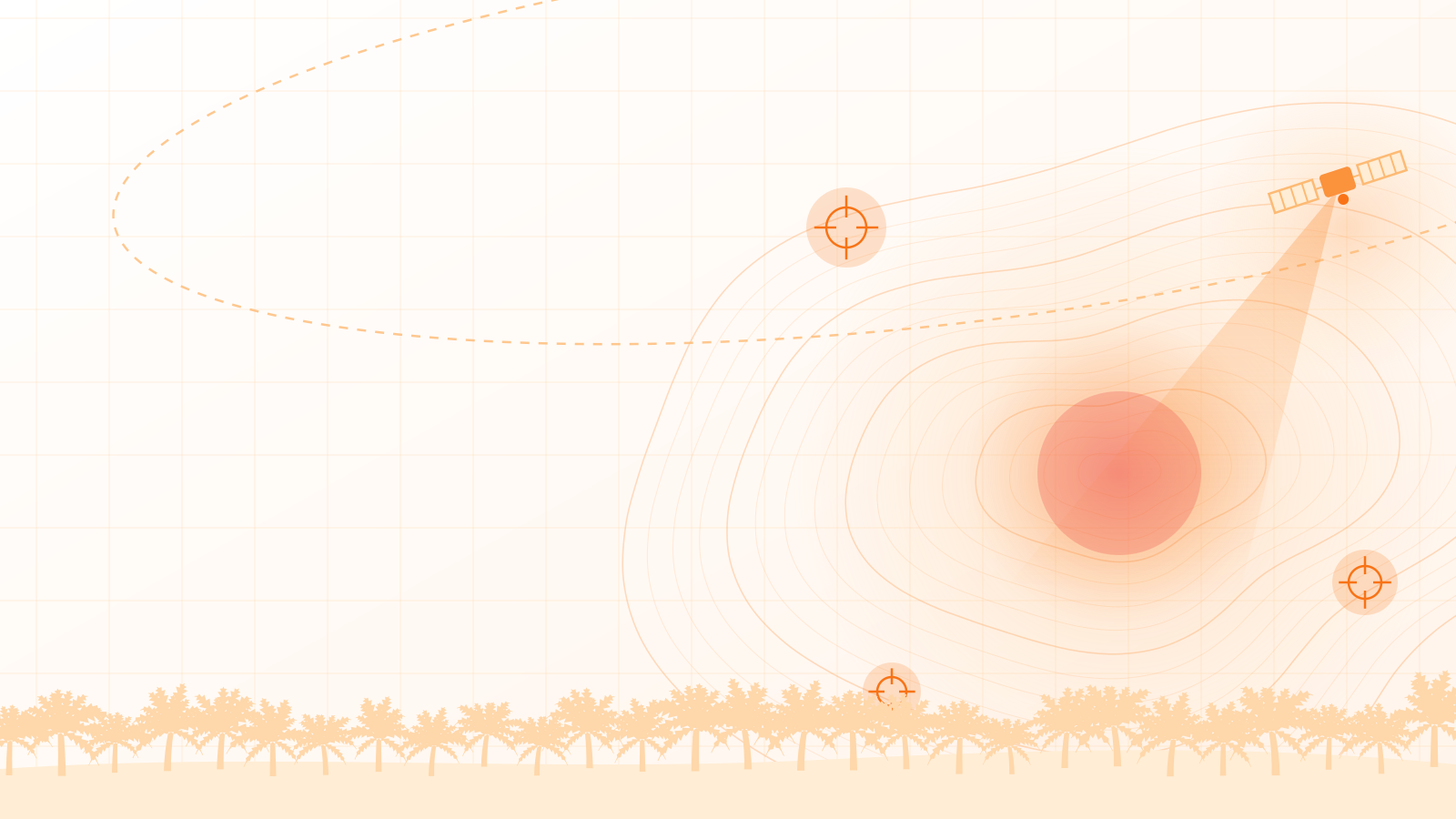
Land fires are cheapest to stop when they are caught early. SawitChain matches NASA and BMKG satellite hotspot data against the GIS polygon map of your plantation and alerts your team in real time when a temperature anomaly appears inside your HGU concession.

HOTSPOT DETECTED
Temp: 54°C | Block C-4
Early Warning for Land and Forest Fires
Satellite monitoring tied directly to your own concession map.
NASA and BMKG satellite data
Hotspot readings from NASA and BMKG satellites are brought into one view, without checking each source by hand.
Your plantation's GIS polygons
Hotspots are plotted on interactive polygon maps of your HGU concession and blocks, so you can see exactly which block is affected.
Real-time alerts
When a temperature anomaly is detected inside your concession, the system raises an alert so the team can respond before a fire spreads.
Karhutla risk mitigation
Early detection helps prevent losses from land and forest fires (karhutla) across nucleus and plasma blocks.
How It Works
-
Map your concession
Your HGU boundary and block polygons are set up in the SawitChain GIS map.
-
Satellites watch for heat
NASA and BMKG hotspot data is matched to your polygons as it arrives.
-
Your team is alerted
A temperature anomaly inside your HGU triggers a real-time alert that names the affected block.
Explore Other Features
Mobile Data Collection
Record harvest yields, daily work logs (BKM), and attendance offline in the field. Data syncs automatically once a signal is available.
Supply Chain Traceability
Trace fresh fruit bunches (FFB) from their origin to the mill to comply with ISPO, RSPO, and EUDR certification requirements.

Ready to Digitize Your Plantation?
Schedule a free demo with our experts and see how SawitChain can cut operational costs and prevent losses from land fires.